Incorporated in 2001, the Municipality of Highlands East was made up of previous townships Bicroft, Cardiff, Glamorgan, and Monmouth.
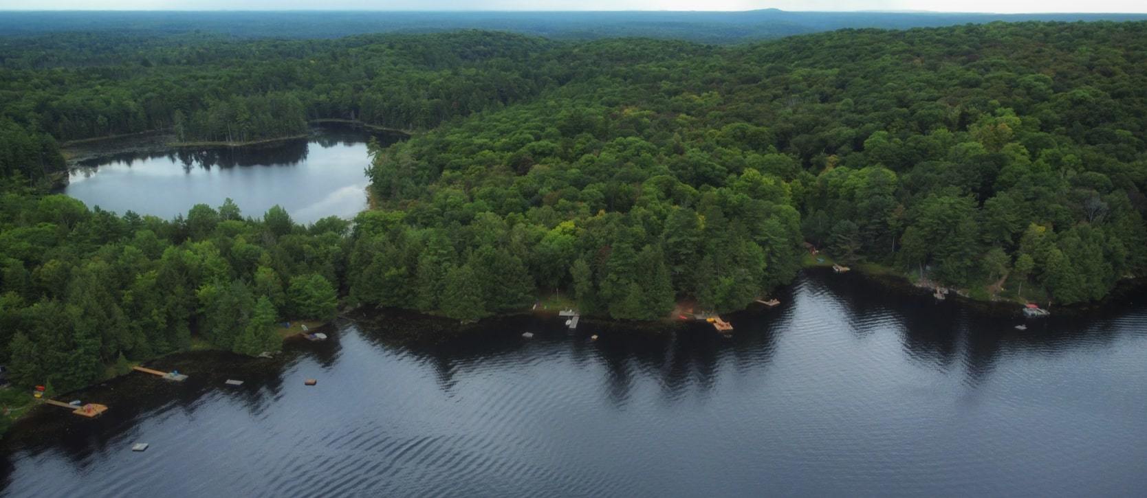
The beauty of the Highlands East area includes its lush landscape with dense, vibrant forestry and its vast expanse of sparkling blue lakes that stretch as far as the eye can see.
Made up of a multitude of smaller communities, the history behind the Highlands East area is that of which is made up of a history of many areas in one.
We’ll be diving into just a brief history of Highlands East, with some background information on the communities that have made it what it is.
Gooderham
The foundation of the community nestled serenely alongside Gooderham Lake, Gooderham is bordered by Pine Lake to the north and Irondale River to the south.
The community sits on a now out of use railway line, IB&O Railroad, which has since then been formed into a trail network.
Since 1873, its main industry has been logging, with now only one major sawmill left operating in the county.
Highland Grove
Named what it was as it was believed that it boasted the highest point of elevation in the county, Highland Grove also boasts a lush landscape as many of the areas in Highlands East.
Starting in 1890, the IB&O railway served as a means of transportation, supply, and communication for the needs of all Highland Grove residents and businesses.
On one side of the grove flows water in the direction of Haliburton and in the other - Bancroft’s York River.
Wilberforce
Established as “Pusey” and named after railway president Charles J. Pusey, this railway was meant to be a means of transportation for iron ore delivery form open pit mines in Irondale.
Now a settlement and home to Ontario’s first Red Cross Outpost, Brown’s Mill used to operate in the area in the 1920s and 1930s.
Cardiff
In the residential area of housing now known as Cardiff, the foundation was first laid when Uranium was discovered in Cardiff Township in the 1950s, with two operating mines then in development.
Then Bicroft mine was located just a couple of kilometres south of what is now Hwy 118, with workers living in temporary housing at the mine site before 150 houses were built across the highway to house families and workers.
With Dino and Bicroft mine later shut down, many of the old homes in the area which housed mining workers became occupied with retirees.
Tory Hill
The village of Tory Hill also centred itself around the railway, settling in 1870 it expanded once the railway came through and ran three times a week.
With many small shops and local village amenities, the area saw itself booming in the 1950s when uranium was discovered and three mines were opened up.
Tory Hill is said to be named after when Liberal candidate Alexander Niven came to election at the settlement, he only received one vote. Yet told John Anderson that he better name the post office he so long wanted, Tory Hill.
Posted by Leah Ambler on


Leave A Comment